Drone Roof Inspection in Brooklyn, NY
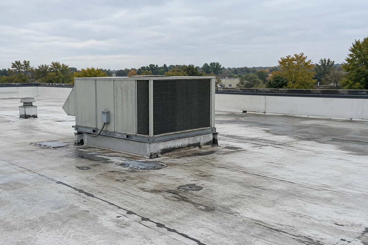
A drone sees a roof the way a super never can: from above, all at once, with every seam and stain in a single frame. On some Brooklyn buildings that matters because the roof is hard to walk. A tall multi-story warehouse, a roof ringed by high parapets, or a deck full of equipment can take hours to cross on foot and still hide the pattern of a problem. Overhead imaging shows ponding outlines, patch history, debris and drain locations quickly, and it lets us plan the hands-on work before anyone climbs a ladder.
When a drone helps and when it does not
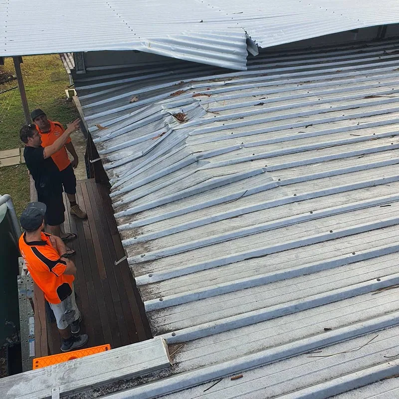
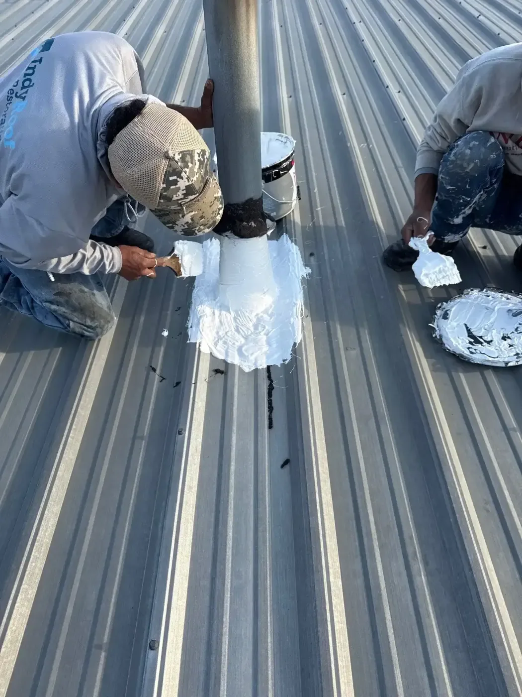
Drone imaging is best for large flat roofs, tall buildings and roofs with limited access. It also helps when an owner wants a before-and-after record of repairs, or when many buildings need a quick survey. A hands-on walk still has to cover seams and flashing, since a lens cannot press a lap or find a soft spot. We use the drone to find what to examine, then send a crew to examine it.
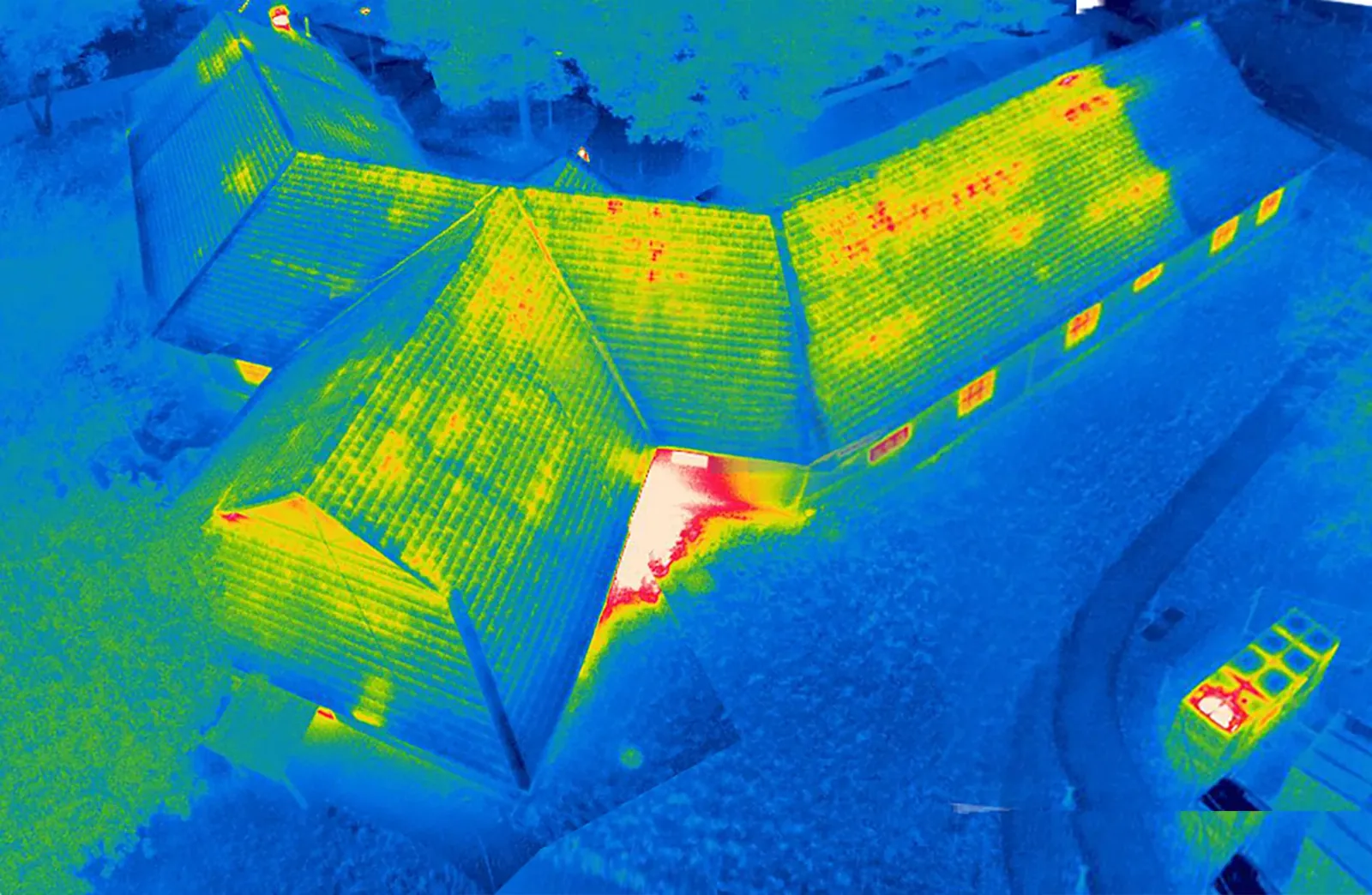
The best result comes from pairing the two. The drone map flags suspicious zones, and the walk confirms each one. When moisture is the question, an infrared moisture survey adds a thermal view that only shows wet insulation under certain conditions.
What the images show
Standard imaging captures high-resolution photographs of the full roof, stitched into a single map. We read the map for ponding water outlines, discolored membrane, blistering, torn seams, displaced gravel, open flashing and missing coping. Drain locations and condition are visible, as are rooftop units, curbs and any modifications that do not match the original plan.
Thermal imaging adds heat patterns. In the evening after a sunny day, wet insulation releases heat more slowly than dry insulation, and the camera picks that up as a temperature difference. We read the thermal image together with the visual map and confirm anything suspicious by core cut. This is a screening tool, not a replacement for sampling.
Brooklyn roofs that suit overhead imaging
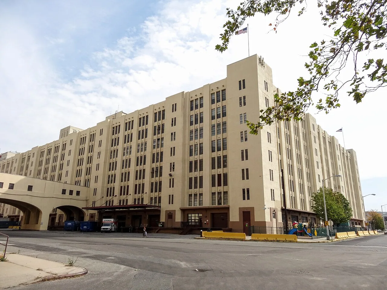
Bush Terminal runs from 32nd to 51st Streets in Sunset Park, and Brooklyn Army Terminal, from 58th to 65th Streets, was renovated for manufacturing in the 1980s. These are large industrial properties where an overhead pass can save hours and reveals roof layout at a glance. On a Sunset Park property that size, a flight at the start can map the roof and settle the access plan.
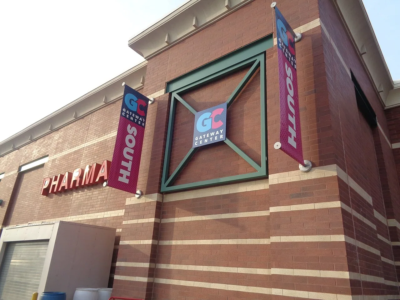
A warehouse roof with many skylights, hatches and curbs is a good example. The map shows every opening in one frame. Retail is another fit. Kings Plaza sits on a 23-acre plot at Avenue U and Flatbush Avenue in Mill Basin, and Gateway Center in Spring Creek has phases opened in 2002 and 2014. A shopping center roof with many tenants and sections benefits from a single map that shows every section at once.
Seasons and flight windows
Weather decides when imaging is useful. July highs in New York City run near 85 degrees on average, and a strong heat island keeps roofs warm into the evening, so thermal cameras get a clear signal after sunset. Winter brings snow, averaging about 30 inches a year, and a snow-covered roof hides everything we want to see, so winter flights are limited to checking drains, parapets and edge metal after the snow clears.
Spring and fall are the best windows. Clear, calm days give sharp images and stable flight, and the roof is dry enough that stains and standing water are easy to tell apart. We schedule flights around those windows and give owners advance notice so tenants and neighbors know to expect a drone overhead.
Flying in a dense city
Brooklyn is crowded, and flying a drone here takes planning. FAA rules apply to all commercial flights, and the city has its own restrictions on where drones can take off and land. We plan each flight in advance, confirm the airspace, keep the aircraft within sight and away from people, and fly in conditions that keep the images usable. Wind, rain and low light all limit when we can fly.
Some sites cannot be flown at all. If a building is close to a restricted area or has no safe launch point, we switch to a hands-on inspection supported by ground-level photography and a lift if needed. A hand-held camera on a pole is a lower-tech tool that still delivers a clear record when a drone is not an option.
Keeping the images useful
Images are only helpful if they can be found later. We label each flight by building, date and condition, and we keep the original files with the report so a future flight can be compared against them. For owners with many buildings, a regular flight each year builds a visual history, and a preventive maintenance program can use that history to decide where crews go first.
We also protect privacy. Flights are planned to keep the camera on the roof and away from neighboring windows and yards, and we crop or blur anything that does not belong in a roof report before it goes to a client.
What you receive
You receive annotated images and a short written report. Each image marks the location of an issue, a description of what we saw, and our recommendation. The roof map has a grid so you can find a mark on the roof by its coordinates. If we also walked the roof, the report ties the aerial and ground findings together, with before-and-after photos where repairs followed.
The imagery becomes a baseline. A flight after a major storm, such as the Ida downpour of September 1, 2021, can be compared against an earlier map to show what changed. That comparison helps with insurance claims, and it speeds up the commercial roof inspection that follows.
Commercial Roofing Questions
Can a drone find a leak by itself?
Rarely. A drone finds patterns that point toward a leak, such as ponding outlines, torn seams or wet-looking insulation in a thermal image. A person still has to confirm the entry point with a hose test or probe. The drone saves time by narrowing the search. On flat roofs the most reliable clues are standing water that remains a day after rain and dark streaks running toward a drain.
Does the building need to be empty during the flight?
No. The drone flies over the roof, and the building stays in use. We keep it away from people on the street and sidewalks, and we post a spotter at the launch point.
How accurate are thermal images of wet insulation?
They show differences in surface temperature, which can mean wet insulation or can mean something else, such as a different material. We fly at the right time of day, compare with the visual map, and confirm every flagged area by core cut before recommending removal.
Can you inspect a roof I cannot reach at all?
Yes, if we can reach a safe launch point nearby. Roofs behind locked bulkheads or on adjoining properties may still be mapped from the street or a neighboring roof. We cannot probe them, so the findings are limited to what the camera shows.
Will the images be useful for a capital plan?
They are a good starting point. A map of roof condition across a portfolio lets an owner rank buildings by visible problems, then book hands-on inspections for the ones that look worst.
What happens if the drone shows a problem during the flight?
We mark it on the live view and tell the manager the same day if it needs attention, such as an open drain, a lifted edge or a torn section. Urgent items move straight to a crew, and the rest go into the written report with a recommended order.